Summary
- Pilots use various methods to determine when to descend, including ATC instructions, 3:1 methodology, and VNAV.
- ATC may issue early descents to deconflict arriving and departing traffic, while pilots must ensure safe altitudes in mountainous areas.
- VNAV, a feature of modern flight management systems, calculates efficient descent paths and adapts to changing parameters while pilots monitor and intervene as necessary.
Knowing when to start descending was always a topic that mystified me before I started flying. The variables that impact this calculation are considerable: speed, wind, distance, and altitude, just to name a few.
Pilots have a variety of ways to figure out when to start a descent, ranging from “quick and dirty” mental math to precise computer analysis. Here’s an overview of when pilots start descending and how they know that it’s time to do so.
ATC issued descent
The most straightforward means of initializing a descent doesn’t require much consideration from pilots. Namely, being instructed to descend by ATC doesn’t require any mental math. Some center controllers will start pilots down when they are still 200 or more miles from landing.
This concerns deconflicting arriving traffic with outbound flights from the terminal area. It’s common to get early descents into the Boston, Los Angeles, or Dallas areas. Flights cruising at 35,000+ feet might descend to the low 30s or high 20 thousand-foot flight level range well before it is required for average landings.
It’s essential to ensure planes are always flown at safe altitudes, even when controllers issue descent clearances. In some regions around the world, controllers issue descent clearances that do not guarantee obstruction clearance in mountainous areas.
In contrast, FAA controllers will not tell a plane to fly lower than the “minimum vectoring altitude” in their airspace, ensuring all obstructions will be cleared. Pilots accustomed to the guaranteed safety in this environment must stay weary when flying in areas where controllers do not have the same obligation. It’s always prudent for pilots to check their charts for the minimum obstacle clearance altitude in a given area when issued a descent clearance.
3:1 methodology
A well-established practice is for pilots to apply the 3:1 ratio rule for planning a descent. The general rule helps pilots build a quick mental model of when they need to start a descent to make a crossing restriction or to land. Using the 3:1 rule, pilots measure the altitude difference between where they are and where they desire to be. They eliminate zeros up to the thousands’ digits (10,000 becomes 10 and 5,000 becomes 5, for example) and multiply the result by three.
This is how many miles before the desired altitude they need to commence a descent. For example, a plane cruising at 30,000 feet needs to start descending approximately 90 miles from the airport (30*3=90) if it is landing at an airport at sea level. Accordingly, if pilots need to descend from 35,000 feet to 20,000 feet, it will take them approximately 45 miles to lose 15,000 feet (15*3=45).
Regarding speed, the pilots from the above example will start descending well before 90 miles from the destination. This is because it takes more miles to slow down. Most jets slow at about 10 knots per mile in level flight, so slowing from 320 knots (an average transition speed from the Mach regime) to an approach speed of 150 knots requires adding 17 more miles. Most pilots would round this up and commence a descent from 30,000, about 120 miles or more from the airport, taking into account a headwind or a tailwind.
Another equation pilots use for descent planning is the vertical speed calculation. Pilots need to figure out how quickly to do so after determining that it will take 45 miles to descend from 35,000 to 20,000 feet. They take half of their groundspeed and multiply it by 10. If you’re flying 400 knots over the ground, you will multiply 200 (half the speed) by 10 to get 2,000 feet per minute. Five hundred knots will require 2,500 fpm, and 300 knots will require 1,500 fpm. This is rough math, but it usually works well assuming the groundspeed remains constant.
VNAV
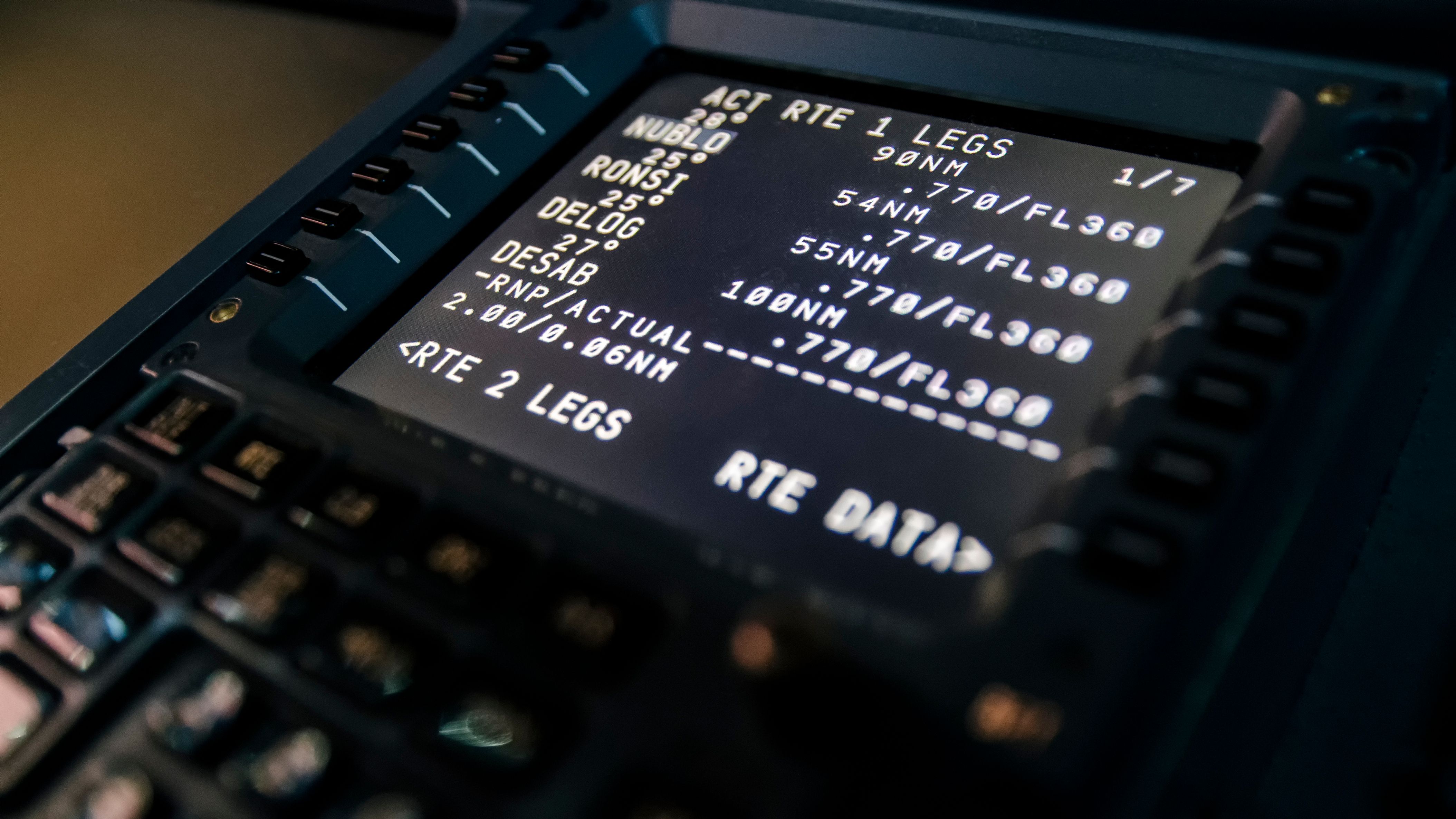
For the last many years, VNAV, or vertical navigation, has answered the question about when to start a descent. VNAV is a feature of every modern flight management system and can accurately and efficiently draw vertical paths between waypoints so that planes are at precise altitudes.
Photo: Jetstream Rider I Shutterstock
A VNAV-capable FMS analyzes waypoint altitude constraints for both climbs and descents and manages the plane’s vertical path whenever it is enabled. As long as pilots have the proper arrival and approach selected for the airport they are landing at, VNAV is able to locate a top-of-descent point that will meet all the crossing restrictions and speed constraints during the arrival. VNAV does this by calculating vertical profiles by considering distances, speeds, and predicted winds aloft information.

Related
How Do Airliners Navigate?
Airplanes, particularly large transport aircraft, use multiple techniques for navigation.
Most VNAV systems draw idle descent paths predicated on a 3-degree angle. On some advanced systems, pilots can alter the descent angle if they want to shallow or increase the descent rate, which is helpful if they predict a stronger-than-usual tailwind. Another benefit of VNAV is that it can adapt to changing parameters.
Pilots can input altitude or speed constraints once a plane has begun its descent. This is helpful since ATC often gives speed mandates during descents. VNAV systems will momentarily recalculate the descent profile after pilots input new data and present them with the requisite profile. Sometimes this requires a shallower descent angle, more thrust, or perhaps extra drag from speedbrakes.
Pilots could engage VNAV during their initial climb in a perfectly predictable environment and not turn it off until they are at the final approach fix just a few miles before landing. If everything were programmed correctly, the plane’s FMS would manage the flight path, altitude, and speed to near perfection.
However, flights are not perfectly predictable and there are always lots of changing variables. This is why pilots’ jobs are important. The reality is that every flight has parameter changes that need to be input into the FMS and monitored for correctness, a task that requires attention and mastery of the underlying automation.

Related
How Do Pilots Decide When To Begin Their Descent?
The typical descent for an airliner is performed at a 3-degree angle.
Pilots and VNAV together
While conventional math will get pilots in the ballpark for descent estimates, VNAV is an incredibly capable element of flight management systems. Not only is it dependable, but it calculates the most efficient descent path for planes to follow. The goal is to remain at a high altitude for the optimum amount of time—not too long to require drag on the way down but not too early as to require thrust during the descent. While the FMS works this advanced calculation in the background, pilots monitor the flight path for safety and precision and intervene as necessary.


